Waterfront Drone Videography: A Lake Minnetonka Listing Case Study

Updated: Sep 27
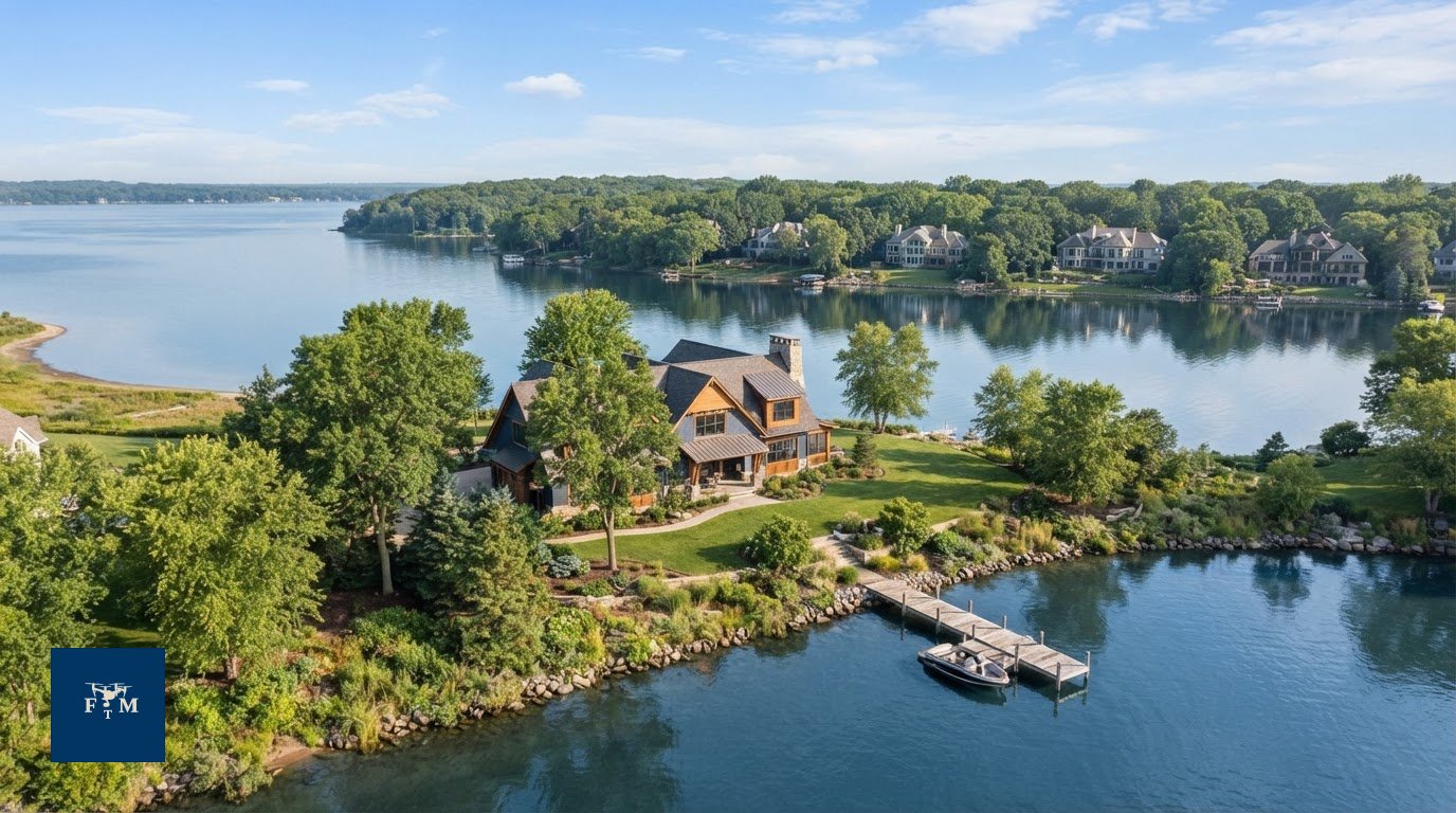
What should a buyer understand after watching a waterfront drone video? More than where the house sits. Effective waterfront drone videography connects a home to the lake, showing its setting and visible relationship to the water in a way a collection of still images may not. Stock footage cannot tell that property-specific story because it does not show the actual listing or its surroundings.
It is reasonable to ask whether video adds value beyond aerial photos and what needs to be checked before a drone takes off. This case-study-style walkthrough uses a Lake Minnetonka listing as a planning example, not a claim about a completed shoot. It explains how to shape aerial footage around the property’s relationship to the water and how video can complement still photos and other listing media.
You’ll also see what to prepare before booking, from identifying useful views to confirming flight feasibility. Flight Time Media’s drone work is performed by an FAA Part 107 licensed operator, but each flight depends on airspace, applicable requirements and authorizations, weather, location, and safety. The goal is a clear process with footage planned around the listing, not a promise that every flight can capture every requested view.
Table of Contents
Why waterfront drone videography matters for a Lake Minnetonka listing
How to build a waterfront drone video around the property’s story
Waterfront drone video vs. aerial photos: what should an agent choose?
How to prepare a Twin Cities waterfront property for a drone shoot
A Flight Time Media approach to waterfront drone videography
Why waterfront drone videography matters for a Lake Minnetonka listing
Waterfront drone videography is aerial video created to show a specific property and how it sits within its surroundings. For a Lake Minnetonka listing, it can connect the home, lot, shoreline, and visible lake setting in a clear sequence. Buyers need context to understand how the property relates to the water, not just a scenic view.
Generic stock clips can suggest a lakeside mood, but they cannot show the actual listing or its setting. Property-specific footage keeps the story grounded in what is visible at that location. It should not be treated as proof of lot boundaries, water access, or water rights. Those details need to be verified separately.
What can aerial video show that listing photos may not?
A still aerial photograph offers one moment and angle. Video adds movement, guiding the viewer from a wider setting toward the home and shoreline when that path is feasible and safe. This can connect elements that separate photos show individually. For background on the broader medium, aerial photography includes imagery captured from platforms such as drones.
Neither format replaces the other. A strong still can communicate the home’s position at a glance, while motion can help explain how the visible setting fits together. Choose shots based on the actual property, not an assumed feature or access point.
When does a waterfront listing benefit from drone video?
Drone video can be useful when the waterfront setting is an important part of the listing story and aerial views add context that ground-level media cannot provide. Keep the home central: establish the setting, bring attention to the property, then show its visible relationship to the shoreline. Scenic footage that does not clarify the listing can distract viewers.
For Twin Cities agents considering aerial coverage, explore Flight Time Media’s drone photography and videography services. Each flight depends on airspace, applicable requirements and authorizations, weather, location, and safety, so feasibility must be confirmed for the property and shoot date.
How to build a waterfront drone video around the property’s story
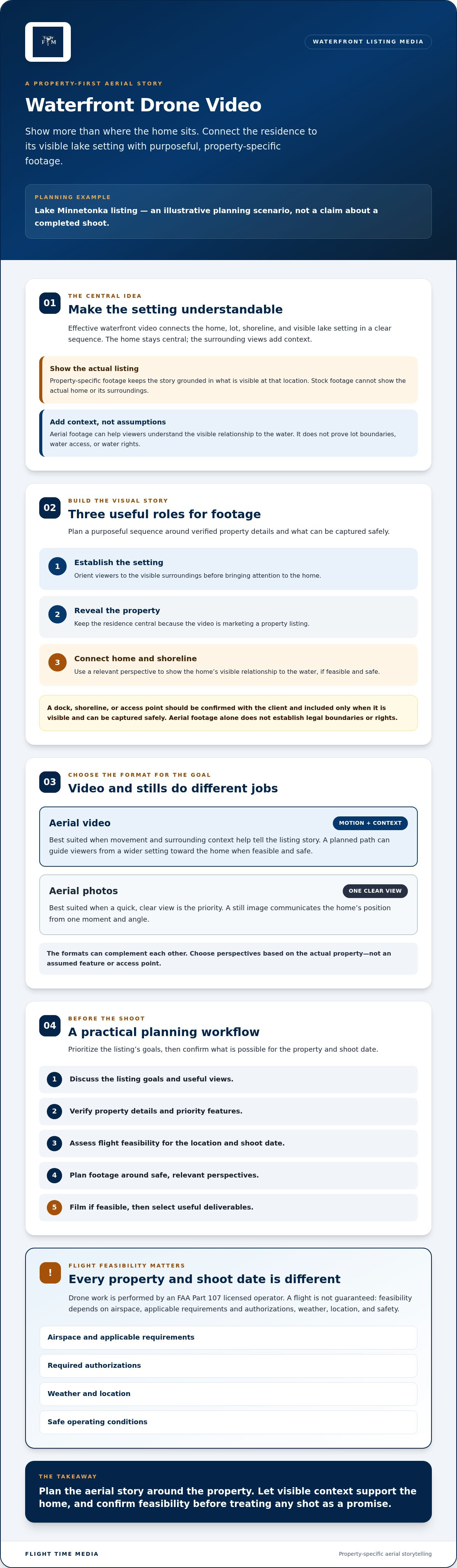
Plan the footage around the questions a buyer may have about the listing. First, orient viewers to the visible setting. Then guide attention to the home and show how it relates to the shoreline. A purposeful shot sequence connects relevant perspectives instead of stringing together unrelated scenery.
Build the shot list from verified property details and the actual lot. If the agent wants to feature a dock, shoreline, or access point, confirm that detail before filming and include it only if it is visible and can be captured safely. Treat planned shots as priorities, not guarantees. The operator’s assessment of the location, conditions, and safe flight options will shape what is possible.
Which shots help viewers understand a waterfront property?
Consider three roles for the footage: an establishing view to orient the viewer, a property-focused reveal, and a connecting perspective that relates the home to the water. Select angles that accurately represent the residence and its visible surroundings. Confirm any claims about shoreline, a dock, access, or boundaries with the client. Aerial footage alone does not establish legal boundaries or rights.
How should the video balance the home and the lake?
Keep the residence central because the video is marketing a property listing. Use lake and landscape views to add context, then return attention to the home. A measured pace and clean transitions help viewers follow the story without letting scenic footage take over. Do not promise unobstructed views or other features the footage cannot confirm.
For broader industry context on drone use in real estate, consult the National Association of REALTORS® drone resource. For a property-specific plan, Flight Time Media’s Twin Cities drone photography and videography services can be considered alongside the listing’s goals. Flight feasibility depends on airspace, applicable requirements and authorizations, weather, location, and safety.
Waterfront drone video vs. aerial photos: what should an agent choose?
Choose based on how the listing media will be used. A still image is easy to select for a specific placement, while video suits uses designed for a moving sequence. Consider the property’s strongest verified features and the agent’s distribution plan before deciding. Either option can be useful, and neither guarantees more views, leads, or a faster sale.
Consideration | Aerial photos | Aerial video |
Motion | Shows one selected moment and angle | Uses movement to connect perspectives |
Context | Emphasizes a visible feature in a single frame | Can place several visible features in sequence |
Distribution | Fits placements that call for individual listing images | Fits channels or presentations designed for video |
Production | Depends on selecting useful, feasible angles | Also requires planning movement, pacing, and editing |
When are aerial photographs the stronger choice?
Choose stills when the agent needs selectable images for listing materials or wants to highlight one verified feature with minimal viewing time. A single frame may communicate a home’s position or visible setting more quickly than a video clip. Flight Time Media’s Twin Cities drone photography services are relevant when planning aerial stills for a waterfront property.
When does waterfront aerial video add useful context?
Video can be a better fit when the agent has a clear use for a moving piece, such as a digital listing or social channel presentation. Decide where the footage will appear before the shoot, then align the planned deliverables with that use. For general industry guidance on drone use in real estate, consult the National Association of REALTORS® drone resource.
Some listings may benefit from both formats: stills provide individual frames, while video serves placements built around motion. Keep the choice practical. Consider the property’s features, distribution needs, and feasible flight options. Feasibility depends on airspace, applicable requirements and authorizations, weather, location, and safety.
How to prepare a Twin Cities waterfront property for a drone shoot
A smooth shoot starts with clear priorities, accurate property details, and a realistic plan. For waterfront drone videography, the agent or property contact can help the media team understand which views matter before the flight assessment. This preparation focuses the shoot without assuming every requested angle will be possible.
What should the agent confirm before filming?
Share the listing’s goals and coordinate access with the media team. Identify the views that would best explain the property, then confirm that any features the video may show are described accurately.
Confirm access arrangements and who will meet or coordinate with the media team.
Identify priority views, such as the home’s position on the lot or a visible waterfront feature.
Verify property details viewers might infer from the footage, including claims about a dock, shoreline, or access.
Discuss timing considerations that may affect coordination or planned coverage.
Use these points to guide planning, not to prescribe a flight route. Do not assume a particular angle, route, or altitude is available before the operator assesses the property and conditions.
What can affect whether a drone flight proceeds?
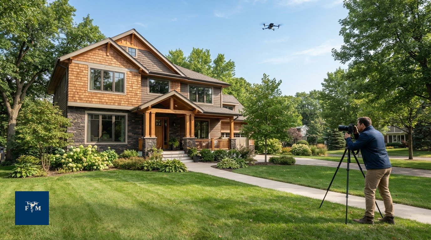
Flight feasibility depends on the specific property and shoot conditions. Weather, location, airspace, FAA requirements, authorizations, and safety can all affect whether or how a flight proceeds. Flight Time Media uses an FAA Part 107 licensed operator who assesses these factors before filming. Requirements and conditions can vary, so confirm the current situation for the property and shoot date.
Keep the plan flexible. If conditions change or a requested view is not feasible, the operator may adjust the shot plan or determine that a flight cannot proceed. The goal is to capture useful, accurate footage without compromising safety or implying that every waterfront listing can be flown.
To plan aerial coverage for a Twin Cities listing, explore Flight Time Media’s drone media services.
A Flight Time Media approach to waterfront drone videography
A clear workflow keeps the shoot focused on the listing and sets realistic expectations before filming begins. Flight Time Media provides real estate photography and videography across Minneapolis, St. Paul, and the Twin Cities, including drone photography and videography. Its drone work is performed by an FAA Part 107 licensed operator, with each flight assessed for the specific property and conditions.
No verified Lake Minnetonka project details or footage are available for this article, so the walkthrough below is illustrative, not a completed client case study. It shows how a waterfront shoot can be planned without implying that particular views were captured or specific results were achieved.
Discuss listing goals. Identify what the aerial video should help viewers understand about the home and its visible setting.
Assess flight feasibility. Review the property and relevant conditions, including airspace, applicable requirements and authorizations, weather, location, and safety.
Plan the footage. Prioritize views that support the listing story and verify property details with the agent or property contact.
Film if feasible. Capture the planned views when conditions allow, adjusting the shot plan if needed.
Select useful deliverables. Choose footage that serves the listing’s intended marketing use rather than including shots simply because they look scenic.
What should a verified Lake Minnetonka case study include?
A real case study should be built from confirmed records, not a hypothetical shot list. Before describing an actual shoot, verify its date, property context, client permission, footage, and production decisions. Explain the listing goal and the role aerial video played in the broader media plan. Include only deliverables and outcomes supported by documentation. If a detail or result cannot be confirmed, leave it out.
What is the next step for a waterfront listing?
Start with the property, the marketing goal, and the views that matter most. Then discuss potential flight considerations with the media team. That conversation helps establish what needs verification and whether the planned aerial coverage may be feasible. Review Flight Time Media’s real estate media services to see how photography and drone media can support a listing.
Discuss your waterfront listing media with Flight Time Media and share the property’s priorities for an initial planning conversation.
Plan aerial media around the property
For a Lake Minnetonka listing, waterfront drone videography works best when every view supports a clear story about the home and its visible setting. Choose video when a planned sequence adds context, and still aerial photos when one carefully selected frame communicates the property more directly.
Preparation matters as much as shot selection. Share the listing’s priorities, confirm the details shown, and leave room for the operator to adjust the plan. Flight Time Media’s drone photography and videography are performed by an FAA Part 107 licensed operator. Whether a flight can proceed depends on conditions and applicable requirements, including airspace, authorizations, weather, location, and safety.
If you’re planning media for a waterfront listing, start with the property’s goals and the views you want buyers to understand. Discuss your waterfront listing media with Flight Time Media. A clear plan can help you choose useful coverage with confidence.
Frequently Asked Questions
Can a drone film every waterfront property?
No. A waterfront address does not guarantee a drone flight is feasible. The operator must assess the specific property, airspace, applicable FAA requirements and authorizations, weather, location, and safety. Some conditions may require a different shot plan or mean a flight cannot proceed. Confirm feasibility for the property and shoot date before setting expectations about particular views or promising aerial coverage in the listing plan.
What does waterfront drone videography show that aerial photos cannot?
Waterfront drone videography can connect several perspectives through movement, helping viewers follow the visible relationship between a home, its lot, and the surrounding water. Still aerial photos present individual angles that can be scanned quickly and selected for listing materials. Neither format establishes property boundaries, water rights, or access. Verify those details separately, and use aerial media to show only features that are visible and accurately described.
Is drone video or drone photography better for a waterfront listing?
Neither format is always better. Choose aerial photos when a strong still view communicates the property’s setting clearly or when the listing needs individual images. Choose video when a sequence can connect useful perspectives and support the agent’s planned distribution. The right mix depends on the home, the details to feature, the intended use, and feasible flight options. Neither format guarantees more views, leads, or a faster sale.
How do weather and location affect a waterfront drone shoot?
Weather and location can influence whether a flight is safe and feasible, as can airspace, applicable requirements, and any needed authorizations. Conditions are assessed for the specific property and shoot date, so a plan should not promise a fixed route or view in advance. If circumstances change, the operator may adjust the shot list or decide not to fly. Build flexibility into the listing’s media schedule.
Does Flight Time Media use an FAA Part 107 licensed drone operator?
Yes. Flight Time Media’s commercial drone photography and videography are conducted by an FAA Part 107 licensed operator. That credential does not mean every property can be flown. Each shoot still depends on airspace, applicable requirements and authorizations, weather, location, and safety. The company serves Minneapolis, St. Paul, Edina, Minnetonka, Eden Prairie, Plymouth, Maple Grove, Bloomington, Woodbury, and Lakeville, along with the Twin Cities metro.
What should an agent prepare before a waterfront drone video shoot?
Share access arrangements, the listing’s media goals, and the views you’d like the footage to prioritize. Verify details about features such as a dock, shoreline, or access before asking the video to present them. Discuss timing with the media team, too. These details help shape a practical plan for a Twin Cities property, whether it is in Minnetonka, Minneapolis, or another local market, while leaving flight decisions to the operator’s assessment.

Comments